MEET OUR TEAM
Education
Ph.D. in Conservation Biology, Applied Track, UCF, 2011
M.S. Ecology, Florida Tech, summa cum laude, 2001
B.S. Ecology, Florida Tech, magna cum laude, 1999
B.S. Marine Biology, Florida Tech, magna cum laude, 1999
Professional Expertise
Stormwater Masterplanning
Environmental Management
Natural Resource Project Management
GIS Analysis & Remote Sensing
Water Resources Modeling
Multivariate, Univariate & Spatial Statistics
Professional Affiliations & Certifications
American Water Resources Association
Florida Stormwater Association
Society of Military Engineers – Sustaining Member
Melbourne Regional Chamber of Commerce
GIS Certification Institute Certified GIS Professional #91249
Highlighted Skills
Water Quality Monitoring
Geodatabase Design & Management
Advanced ArcGIS Mapping & Training
Custom Scripting & Software Development
ArcHydro
ArcNLET
Remote Sensing Tools for Visible/IR
Multi & Hyperspectral Imagery & LiDAR
ENVI
Spatial Analyses (Spatial, Geostatistical, & 3D Analyst)
Advanced Statistical Analyses & Modeling
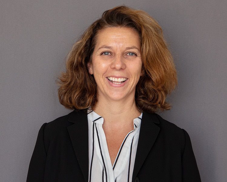
Claudia Listopad, Ph.D., GISP
President and Principal Scientist
Dr. Claudia Listopad has 22 years of specialized experience in geospatial project management, remote sensing, and statistical analyses for resolving a multitude of environmental problems. As a trained marine biologist, ecologist, and conservation biologist, Dr. Listopad worked in the private consulting world for over eight years prior to founding Applied Ecology, Inc. Claudia Listopad has combined geospatial analyses and ENVI remote sensing skills with over six years of in-depth use of LiDAR for water resources and ecological studies. Her interest focuses on the application of cutting-edge remote sensing technology and advanced modeling to conservation and natural resource management.
Dr. Listopad specializes in the application of GIS, modeling, database development, statistical analyses, and remote sensing to complex data sets, particularly those related to stormwater, utilities, water resources, natural resources, and consumptive permitting. Since founding AEI, Dr. Listopad has provided stormwater, surface and groundwater quality monitoring, statistical analyses, and modeling services directly as a prime or subconsultant for Brevard County NRMD, City of Indian Harbour Beach, City of Cocoa Beach, City of Cape Canaveral, City of Titusville, City of Rockledge, and the US Air Force, among many others.
Dr. Listopad has been and is continuously involved in several projects funded by the State Legislature related to water quality of the Indian River Lagoon, including several groundwater source studies, which include large-scale monitoring, geospatial modeling, and statistical analyses. Additionally, she is actively involved in both the research and public consulting world for water resources. She presents at domestic and international conferences on a variety of ecological and remote sensing topics and participates in public workshops for water resources issues and their implementation.
Education
B.S. Electrical Engineering, University of Central Florida, Orlando, FL 1982
Professional Expertise
Embedded Software Development
Custom Applications for Natural Resource Management
Project Management
Stormwater
GIS Modeling
Toolset Development
Professional Affiliations & Certifications
Florida Stormwater Association
Society of Military Engineers – Sustaining Member
Melbourne Regional Chamber of Commerce
DEP SOPs for Surface & Groundwater Sampling
ArcGIS Model Builder/Geodatabase Schema
Highlighted Skills
C/C++ Programming
Object Oriented Analysis & Design (OOA/OOD)
Visual Basic/Python Custom Tool Development
Unified Modeling Language (UML)
Embedded Software Development
Real-Time Processing/Experienced Debugging In-Lab Environment
ArcObjects
Advanced ArcGIS Mapping & Training
ArcHydro
ArcNLET
MODFLOW
Advanced QGIS Mapping
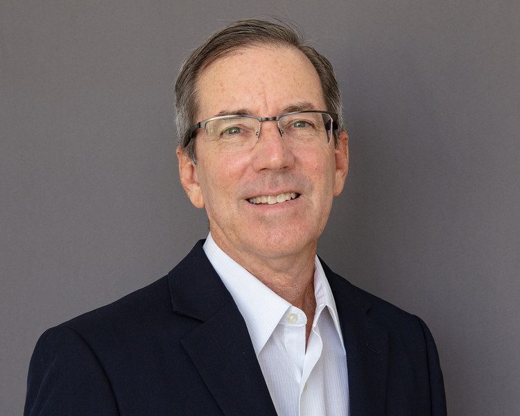
William “Bill” Paton
Vice President, Senior GIS Modeler and Software Developer
Mr. Paton has 36 years of technical and project management experience in software design, implementation and integration for a multitude of purposes. Prior to joining AEI in 2012, he worked in the Defense Industry for over two decades, where he managed multimillion-dollar projects with several staff engineers. He has extensive experience in estimating large-scale software design estimates, planning and meeting milestones, designing and meeting requirements, and integrating the final product. Projects have ranged from real-time detection and identification of targets using compact 3-D laser radar (LADAR) to custom watershed loading models for TMDL implementation, groundwater modeling, and web application development.
Typical tasks include custom toolsets for ArcGIS users to streamline repetitive and complex tasks, and custom applications to enhance data analysis needs when dealing with large datasets. As a lead software team engineer with decades of federal project experience, Mr. Paton can independently define and design the requirements and software architecture, as well as implement and test these systems. Mr. Paton also specializes in database design and custom interfaces for the user, both on desktop and web platforms, as well as technical reporting (software documentation, test plans, and data analysis reports).
Mr. Paton is often involved in developing custom tools to increase the productivity of large-scale mapping efforts, reduce human error, and provide user-friendly validation tools, both in the office and field settings. He is the lead ArcGIS Online web application developer for Applied Ecology and uses a variety of programming and scripting skills to achieve custom functionality. He is also involved with water quality sampling and quality assurance, and is certified by the University of Florida’s DEP SOPs for Surface and Groundwater Sampling.
Education
Ph.D. Conservation Biology, Unviersity of Central Florida, December 2012
M.S. Nonprofit Management, University of Central Florida, August 2005
B.S. Biological Sciences, Minor in Interdisciplinary Scients, Florida State University, May 1991
Professional Expertise
Water Quality Assessment
Project Management
Integrated Socio-Ecological Research
Communications & Facilitation
Scientific & Technical Writing
Operations Director
Professional Affiliations & Certifications
Florida Stormwater Association
Society of Military Engineers Sustaining Member
Melbourne Regional Chamber of Commerce
Lead Brevard
Forbes Nonprofit Council
NAUI Scuba Certified
Highlighted Skills
Business Administration
Strategic Planning
Grants & Contracts Management
Program Evaluation
Technical Writing & Communications
Socio-Environmental Research
Urban Ecology Linked to Nutrient Dynamics
Environmental Assessment & Source Allocation
Data Collection & Analysis
Shoreline & Wetland Restoration
Facilitation & Conflict Resolution
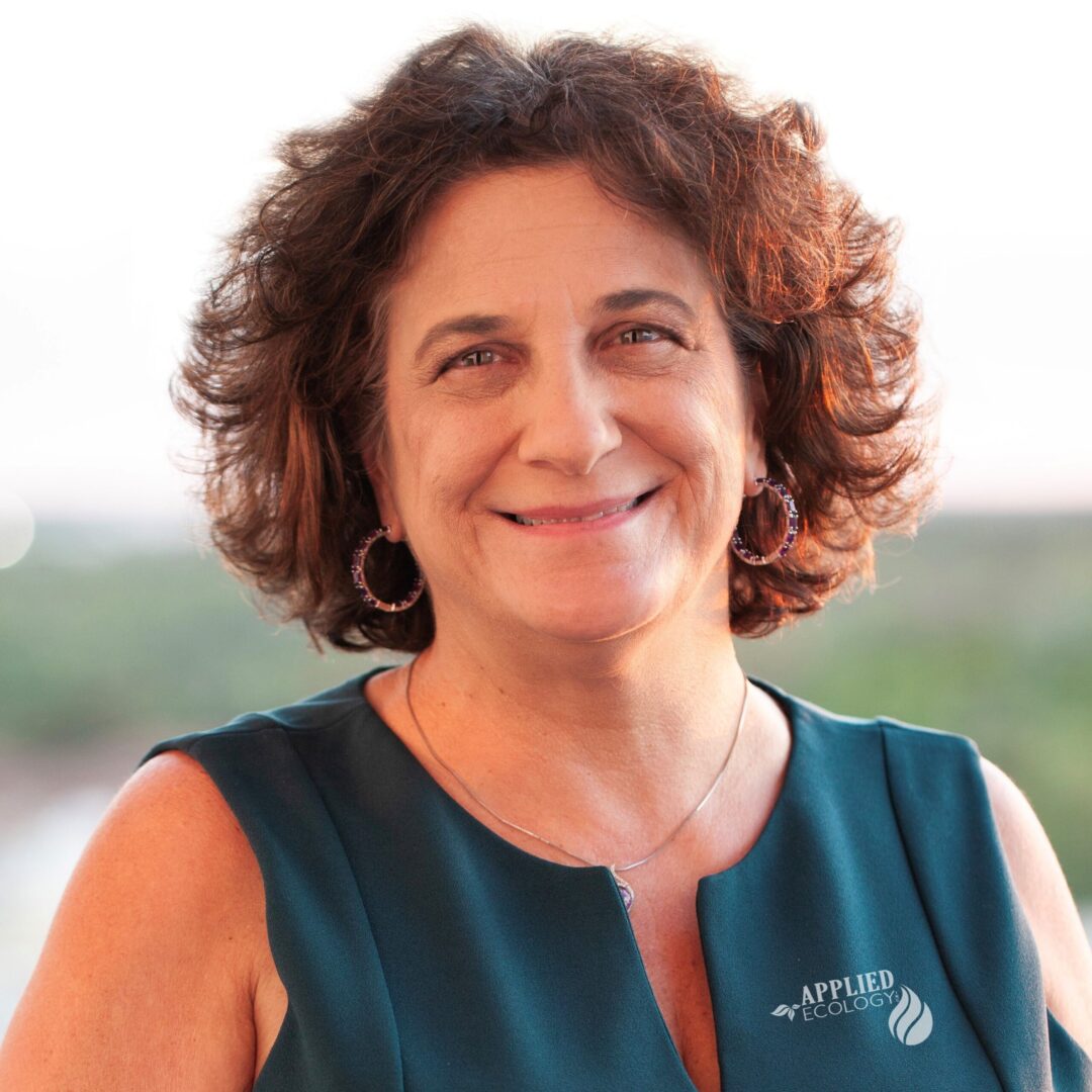
Leesa Souto, Ph.D.
Director of Operations
Dr. Souto has been working for Florida’s water resources for over 30 years in many different capacities, providing her a comprehensive understanding of the complex environmental issues facing our state.
During her career, she has done water and soil chemistry testing and analysis; groundwater and surface water assessment and remediation; environmental education and behavior change; shoreline restoration and land management; policy support and advocacy; program design and evaluation; environmental and socio-ecological research; grants and contract administration; and business development and management. She has successfully administered over $15M in grant-funded environmental projects in her career and has managed successful nonprofit and for-profit businesses. She is an urban-ecology researcher and award-winning lecturer conducting and sharing actionable research to solve Florida’s water quality problems. Some of her accomplishments include initiating an international fishing line recycling program (MRRP, 2001), creating the Florida Water Resources Monitoring Council structure (2002-04), chairing Florida’s Stormwater Education Task Force (2001-2012), creating and distributing the Stormwater Education Toolkit (2003-04), launching the Cocoa Beach and Orlando Green Business Programs (2007-2011), producing the Indian River Lagoon Report Card (2017-2021), and conducting over one hundred charettes, assemblies, and conferences to reach consensus on critical issues.
Dr. Souto received a B.S. in Biological Sciences and Minor in Interdisciplinary Sciences from Florida State University. She also holds a Master’s in Nonprofit Management and Doctorate in Conservation Biology from the University of Central Florida.

Education
B.S. Biomedical Engineering, Lousiana Tech Unversity, 1996
A.S. Engineering, Shepherd College University, 1993
Professional Expertise
Water Quality
Hazardous Waste/Hazardous Materials Management
Restoration/Remediation & Emerging Contaminants
Air Quality & Toxics
Tank Management (SPCCs, FRPs, etc)
Natural/Cultural Resources
Environmental Impact Analysis Process
Professional Affiliations & Certifications
Florida Stormwater Association
Society of Military Engineers – Sustaining Member
Melbourne Regional Chamber of Commerce
Certified Acquisition Professional, Level 1, Level 2, & Level 3 Facilities Engineering
Highlighted Skills
Program Management
Contract Development & Execution
Permitting
Technical Reports
Senior Leader/Local Community Briefings
Asbestos
Lead-based Paint
Radon
PCBs
Stormwater, Drinking Water, & Wastewater
Spill Response
Community Planning
Environmental Impact Analysis Process
Environmental Management System
Asset Management
Qualified Recycling Program
Andrea Bishop
Senior Environmental Compliance Manager
Andrea Bishop has 26 years of technical, project, and contract management experience in environmental compliance, pollution prevention, and restoration programs for the Department of Defense. Ms. Bishop has managed multimillion dollar environmental compliance and restoration projects and programs for multiple military installations (CONUS and overseas) in senior level positions and supervised staffs of 25+ scientists and engineers. She has extensive experience in all aspects of environmental program and project management with proven aptitude to analyze/mesh environmental requirements with military mission requirements. In her leadership positions, Ms. Bishop developed, initiated, and evaluated new procedures, policies, and internal controls to assess and resolve complex operational problems while ensuring environmental compliance.
Ms. Bishop’s most recent position was with the Air Force Civil Engineer Center as the Environmental Operational Chief for the Offutt Installation Support Section where she directly supervised 17 personnel and supported the environmental compliance and restoration programs regionally for four Air Force installations (Ellsworth, Grand Forks, Minot, and Offutt). In addition, Ms. Bishop served as the Deputy for the Midwest Branch Chief providing direct environmental compliance and restoration support for 18 Air Force installations and 10 Government Owned Contractor Operated (GOCO) facilities. Ms. Bishop is also a proud military veteran having served in the U.S. Air Force as a Bioenvironmental Engineering Officer.
Education
M.S. Environmental Engineering, University of Michigan, 2001
B.S. Civil & Environmental Engineering, Stanford University, 1998
Professional Expertise
Site Assessment & Remediation
Due Diligence Investigations
Treatment System Design & Installation
Operation, Maintenance, & Monitoring
Groundwater Modeling
Professional Affiliations & Certifications
American Society of Civil Engineers
Florida Stormwater Association
Society of Military Engineers – Sustaining Member
Melbourne Regional Chamber of Commerce
Professional Engineer, Florida (63579) and California (C62492)
40-hour OSHA HAZWOPER
8-hour Supervisor of Hazardous Waste Workers
8-hour OSHA Confined Space Entry Course – Entrant and Attendant
OSHA 30-hour Construction
First Aid / CPR / AED
Highlighted Skills
Site Assessment & Remediation
Groundwater Flow & Contaminant Transport Modeling
MODFLOW
RT3D
MT3D
High Resolution Site Characterization
Innovative Remediation Technologies
Remedial Optimization
Regulatory Closure
Phase I & II Environmental Site Assessments
Emergency Response
UST Closure
Asbestos Abatement
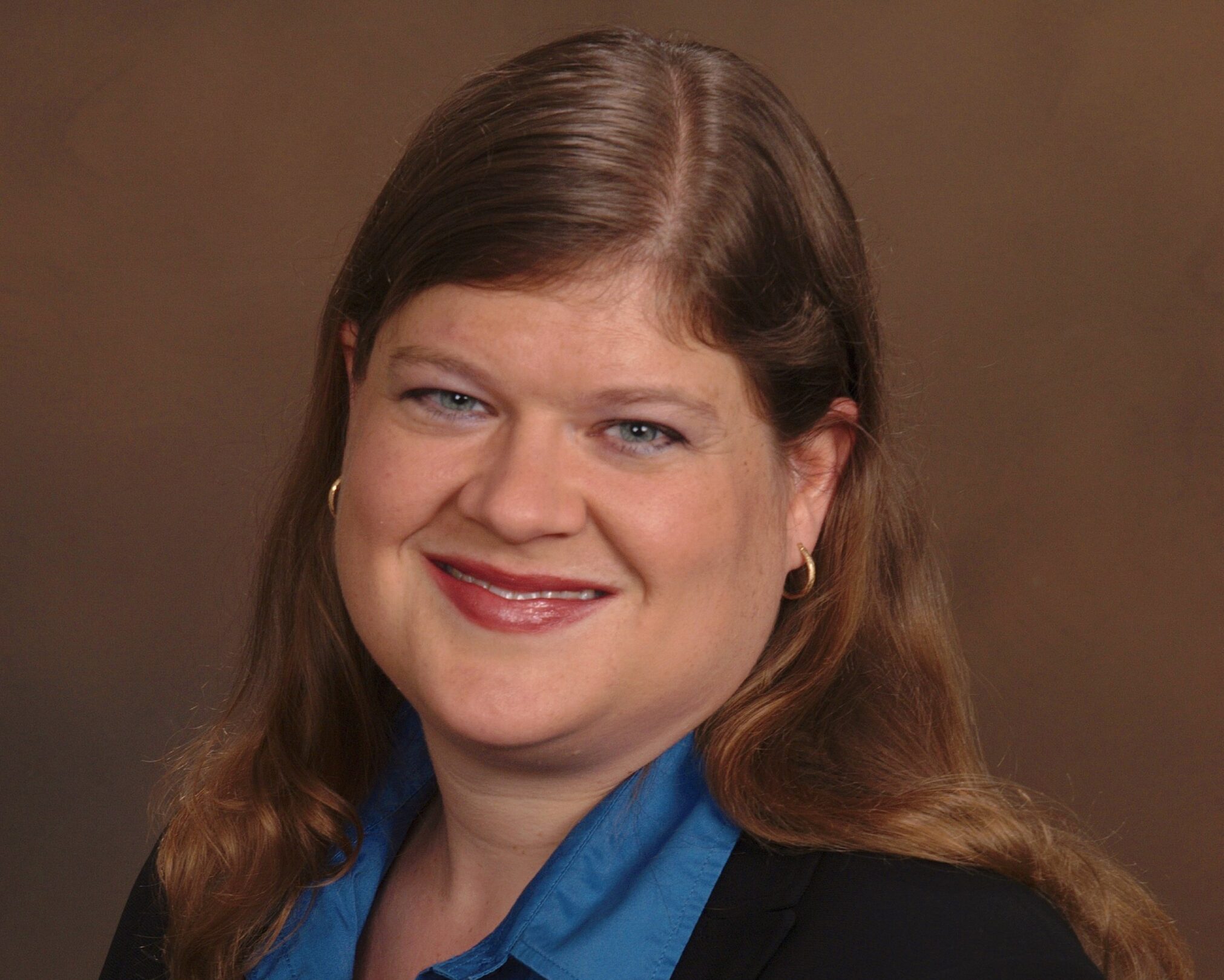
Catherine Soistman, P.E.
Principal Engineer
Catherine Soistman, P.E., is a principal engineer with 21 years of experience in the various phases of site remediation, including site investigation, feasibility studies, treatment system design and installation, in-situ chemical oxidation, operation, maintenance, and monitoring, optimization, and site closure. She also has experience in modeling of groundwater flow and contaminant fate and transport, underground storage tank (UST) closures, Phase I and II environmental site assessments (ESAs), asbestos abatement, building demolition, due diligence investigations, and landfill closure. Ms. Soistman performs assessment and cleanup of a variety of contaminants, including petroleum products, chlorinated solvents, pesticides, polychlorinated biphenyls, metals, and PFAS. Ms. Soistman has provided services to a variety of clients, including defense contractors, pharmaceutical companies, the federal government, state and local governments, and small businesses.
In the early stages of her career, Ms. Soistman was responsible for the operation, maintenance, and monitoring of remediation systems at Navy bases undergoing Base Closure and Realignment in northern California. For several years, she was the Project Manager on a continuing services contract for environmental services with Orange County, Florida. She has also provided several years of environmental site assessment and remediation services for the National Aeronautics and Space Administration (NASA) at Kennedy Space Center.
As an active member of the American Society of Civil Engineers (ASCE) for more than 15 years on both the local and national levels, Cathy has won multiple awards, including Florida Section Young Engineer of the Year, Regional Outstanding Young Engineer in the Private Sector, Regional Outstanding Younger Member in Community Activities, and Nominee for E-Week Young Engineer of the Year. She is currently chair of the national ASCE Environmental Water Resources Institute (EWRI) Communications Council, and editor of the EWRI Currents newsletter, which is published nationally.
Education
M.S. Marine Resource Management, Oregon State University, 2007
B.S. Biology, Willamette University, 1990
Professional Expertise
Geospatial Analysis
Ecology, Biology & Fisheries
Climate Change & Resiliency
Natural Resource Management
Spatial Planning
Marine Debris
Business Management
Professional Affiliations & Certifications
Melbourne Regional Chamber of Commerce
Society of Military Engineers – Sustaining Member
NAUI SCUBA Instructor
Highlighted Skills
Research Design
Data Collection & Data Analysis
GIS Data Management & Model Building
Climate Change Impacts
Environmental Restoration
Communications
Recreational & Commercial Fisheries
Statistical Analysis
Accounting & Enterprise Resource Planning (ERP) Solutions
Access & SQL
GIS Analysis & Modeling (Marxan, Sea Level Affecting Marsh Migration (SLAMM), & Natural Capital InVEST Models)
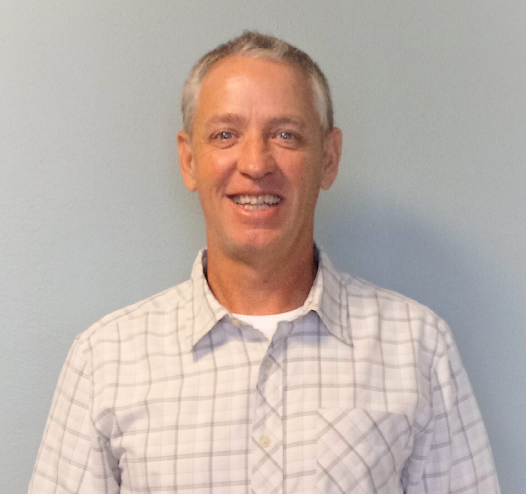
Michael Thompson, M.Sc.
Sr. GIS Analyst
Michael Thompson is an ecologist and geospatial analyst with professional experience in coastal and marine ecology, fisheries, coastal hazards, community risk and resiliency, spatial planning, and climate change. He received his bachelor’s degree from Willamette University in Biology while focusing on terrestrial and marine ecology. After receiving his degree, he worked as an outdoor education instructor on Catalina Island in California, a dive master and rescue diver on the Turks and Caicos Islands, and a fisheries observer onboard commercial fishing vessels in Alaska. Due to a family illness, he eventually became President and Owner of a manufacturing corporation in Oregon before selling it and returning to graduate school.
He received his Master of Science degree in Marine Resource Management from the College of Earth, Ocean and Atmospheric Sciences at Oregon State University, where his thesis focused on seafood traceability and product quality in the albacore tuna industry. His work as an ecologist and spatial analyst covers much of the U.S. coastal zone, where he has been integral in designing and implementing GIS analytical and predictive models to inform coastal zone management.
In addition to his scientific expertise, Mr. Thompson has over 10 years of business management and marketing experience, providing him with a unique and valuable perspective when it comes to working on critical natural resources and ecological issues. During his career he has worked and collaborated with a wide diversity of stakeholders including University scientists, non-governmental organizations, federal/state agencies, and business interests. These diverse experiences have provided him with the requisite knowledge and skill to tackle the most challenging of issues.
During his free time, Michael enjoys spending time outdoors surfing, cycling, hiking, diving and playing the occasional game of golf.
Education
Ph.D. Geology, University of Georgia, 1979
M.S. Geology, University of Rhode Island, 1975
B.S. Geology, University of Rhode Island, 1970
Professional Expertise
Continental Shelf Sedimentology & Stratigraphy
Tidal Inlet Hydraulics
Sediment Transport Mechanics
Hydrodynamics of Nearshore & Estuarine Environments
Statistical Analysis
Remote Sensing
Professional Affiliations & Certifications
American Geophysical Union
Society for Sedimentary Geology
Florida Stormwater Association
Society of Military Engineers – Sustaining Member
Melbourne Regional Chamber of Commerce
Professional Geologist, State of Florida (No. 1038)
Licensed Geologist, State of North Carolina (No. 1001)
Highlighted Skills
Geology of Shallow Marine, Coastal, & Estuarine Environments
Physical Sedimentology
Coastal Sediment Dynamics
Tidal Inlets
Hydrodynamic & Morphologic Modeling
Water Quality Modeling
Sampling & Monitoring of Coastal Environments
Geotechnical Project Management
Coastal Resiliency Planning
Gary Zarillo, Ph.D., PG
Coastal Oceanographer and Principal Geologist
Dr. Gary Zarillo has over 40 years of experience in coastal processes, marine geology, and physical oceanography. He has conducted more than 75 sand source projects ranging from reconnaissance to permit level field investigations of shallow marine sand bodies and upland sand and gravel deposits. Dr. Zarillo is experienced in combining the interpretations of acoustic sub-bottom data with core borings to develop three-dimensional (3D) lithologic models to quantify volumes of beach quality material. Dr. Zarillo has extensively published on the application of geologic models for identifying and quantifying sand and gravel resources. He has conducted applied and basic research on continental shelf sediment dynamics, tidal inlet hydraulics, dynamics of barrier island systems, sediment transport mechanics and the hydrodynamics of nearshore and estuarine environments. Dr. Zarillo also has extensive experience in the application of statistics and time-series analysis to environmental studies and the application of remote sensing methods in coastal and terrestrial environments.
Dr. Zarillo’s area of research interests are in the physical and sedimentary processes of estuarine, coastal, and continental shelf environments. Dr. Zarillo conducts studies of estuarine hydrodynamics and salinity regime, sediment dispersal from dredge spoil disposal sites, long-term wave climate, sand sources for beach nourishment, wave-driven sand transport on the barrier island shoreface and inlet sediment dynamics. Current research projects include: Hydrologic and Water Quality Model for Management and Forecasting within Brevard County Waters of the Indian River Lagoon for the Florida Department of Environmental Protection (2014-2019); State of the Inlet: An Assessment of Inlet Morphologic Processes, Shoreline Changes Local Sediment Budget and Beach Fill for the Sebastian Inlet District; and Evaluating Cross-Shore Sediment Grain Size Distribution, Sediment Transport, and Morphological Evolution of Nearshore Placement Sites for the U.S. Army Corps of Engineer Research and Development Center (ERDC).
Education
M.S. Conservation Technology, Florida Institute of Technology, summa cum laude, 2016
B.S. Conservation Biology & Ecology, Florida Institute of Technology, magna cum laude, 2014
A.S. Liberal Arts & Sciences: Mathematics & Sciences, Corning Community College, cum laude, 2011
Professional Expertise
Data Collection & Management
Access Database Design
GIS Database Design, Mapping, & Spatial Analysis
Water Resource, Ecological & Statistical Analyses
Groundwater Quality Sampling
Surface Water Quality Sampling
Professional Affiliations & Certifications
Florida Stormwater Association
Society of Military Engineers – Sustaining Member
Melbourne Regional Chamber of Commerce
Wild Florida Rescue
DEP SOPs for Water Sampling & Meter Testing
Intro to DEP SOPs for Groundwater Sampling
Highlighted Skills
Data Collection
Organization & Statistical Analysis
Access, Geodatabase, & ArcGIS Online Database Management
Communications
Groundwater & Surface Water Sampling
Wildlife Rehabilitation
Pollen Morphology
Surface Soil Collection
Aquatic Invertebrate Sample Collection
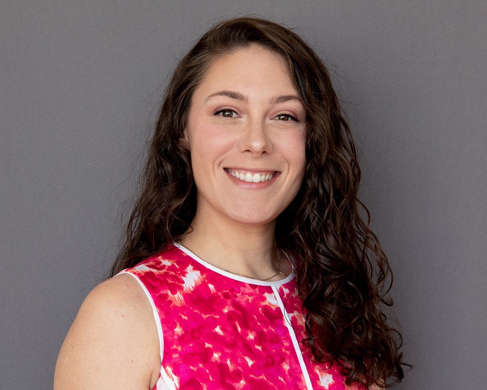
Danielle Huffner, M.S.
Environmental Scientist IV
Danielle Huffner received her Master of Science degree in Conservation Technology from Florida Institute of Technology. Her area of study was focused on understanding how to approach problems within the field of ecology and conservation biology based on various disciplines and through the application of new technologies. Her interests focus on the application of conservation technologies to improve the health of ecosystems while increasing public awareness.
Ms. Huffner specializes in data collection, database management, and statistical, ecological, and spatial analyses. She is heavily involved in several of Applied Ecology’s data management and database development projects, including the Indian River Lagoon Ecological Health Assessment, State of the Indian River Lagoon Web Application (SIRLAP), and the TBW’s Access-based Environmental Monitoring Permitting tracking database. Ms. Huffner has learned many of her organizational and data management skills while working as a research professional at Florida Institute of Technology, focusing on the reconstruction and enhancement of an existing neotropical pollen database. She has extended her skills into database development for various platforms, ArcGIS Online applications, statistical and spatial analyses, report development, as well as stakeholder engagement at Applied Ecology working on a variety of natural resource management projects.
Ms. Huffner is involved in various water quality monitoring projects such as the groundwater monitoring for the City of Rockledge, the county-wide groundwater monitoring project for Brevard County, surface water quality monitoring for the City of Indian Harbour Beach, and most recently the county-wide PFAS sampling for Brevard County. All of the aforementioned projects follow the strict standard operating procedures (SOPs) established by FDEP, in which Ms. Huffner has received her certification. Many of these projects involve water resource nutrient modeling using in-situ data, which Ms. Huffner performs load calculations and other various data analyses.

Education
B.S. Conservation Biology & Ecology, Florida Institute of Technology, 2016
Professional Expertise
Data Collection & Management
ArcGIS Online Customization
Surface Water Quality Sampling
GIS Mapping & Spatial Analysis
Professional Affiliations & Certifications
Florida Stormwater Association
Society of Military Engineers – Sustaining Member
Melbourne Regional Chamber of Commerce
Brevard Zoo Conservation Department
FDEP Florida Stormwater Erosion & Sedimentation Inspector
American Stormwater Institute Qualified Florida Construction Stormwater Inspector
OSHA 40-Hour HAZWOPER
DEP SOPs for Water Sampling and Meter Testing
Intro to DEP SOPs for Groundwater Sampling
Highlighted Skills
ArcGIS Mapping
ArcGIS Online Customization
Data Collection, Integration & Management
Microsoft Office
Surface Water Quality Sampling
Stormwater Quality Sampling
Groundwater Quality Sampling
Animal Care
Community Outreach
Kayleigh Douglass
Environmental Scientist III
Kayleigh Douglass graduated from Florida Institute of Technology with her bachelor’s degree in Conservation Biology and Ecology and has over five years of experience. Her interests include conservation initiatives, implementation of best management practices, and public outreach. Since joining Applied Ecology, she has continued to grow her skill set, expanding her mapping and spatial analysis capabilities, applying her analytical skills to public sector projects, and learning water quality collection SOPs. Ms. Douglass has completed the large infrastructure survey integration of dozens of facility types for the Cape Canaveral Air Force Station (CCAFS) and the CAD to database conversion in the web environment for the City of Indian Harbour Beach. She also has supported Brevard County Natural Resources Management Office with their GIS data infrastructure collection and management needs, most recently with the development of their catchment basin dataset and outfall inventories. Additionally, she has been providing support to the City of Cocoa Beach regarding their stormwater and wastewater infrastructure datasets through the creation of Standard Operating Procedure (SOP) documents for field data collection, reviewing existing data, creation of new data layers, performing field data collection, and BMAP support.
Ms. Douglass is the lead environmental field technician for all water quality sampling projects, including surface water sampling for the City of Indian Harbour Beach and groundwater and stormwater sampling for the City of Rockledge. She is involved in site assessment efforts for remediation, environmental dredging projects, and is highly trained in emergent contaminant sampling. She is highly involved in the site prioritization analyses and modeling for a recently initiated large-scale groundwater study in Brevard County. This State-funded project addresses the need to provide a priority plan to identify the critical areas where groundwater contamination is most likely impacting the Indian River Lagoon. She is also involved in the public outreach component of the project, by training and engaging citizen scientists throughout the 3-year long project.

Education
Ph.D. Candidate Geoscience, Florida Atlantic University, 2019
M.A. Geography, Florida Atlantic University, 2016
M.S. Integrated Environmental Science, Bethune-Cookman University, summa cum laude, 2012
B.S. Environmental Science, Dickinson College, 2010
Professional Expertise
Environmental Management
GIS Analysis & Remote Sensing
Multivariate & Spatiotemporal Statistics
Professional Affiliations & Certifications
Geological Society of America (GSA)
American Geographical Society (AGS)
Coastal & Estuarine Research Federation (CERF)
Southeastern Estuarine Research Society (SEERS)
Florida Stormwater Association
Society of Military Engineers – Sustaining Member
Melbourne Regional Chamber of Commerce
OSHA 40-Hour HAZWOPER
Advanced Open Water & Enriched Air Nitrox PADI SCUBA Certication
Highlighted Skills
Advanced ArcGIS Mapping
Training & Spatial Analyses (Spatial, Geostatistical, & Temporal)
Remote Sensing Tools for Visible/IR, Multi- & Hyperspectral Images with ENVI
Advanced Statistical Analyses & Modeling
Andrew Kamerosky, M.S.
Environmental Scientist III
Andrew Kamerosky has 10 years of academic research in the fields of environmental management, geospatial analysis, and remote sensing in Florida. His work has focused on the use of interdisciplinary approaches to informing collaborative efforts in addressing emerging environmental issues. His interest focuses on the application of satellite remote sensing to enhance wetland and water resource management.
Mr. Kamerosky specializes in the application of GIS, ecological, and hydrological methods. He has extensive training and experience in multidisciplinary data collection, geostatistical analysis, multivariate statistics, conceptual modeling, geodatabase development, and remote sensing of aquatic and terrestrial surfaces. He has applied many of these skills through graduate-level research on the Indian River Lagoon, Lake Okeechobee, and the Everglades. Additionally, Mr. Kamerosky is involved with providing guidance and advice to emerging environmental leaders through the National Wildlife Federation’s EcoLeaders program.
Mr. Kamerosky has been pivotal in initiating an innovative 15-month study of water quality parameters and Harmful Algal Blooms (HABs) using European Space Agency (ESA) Sentinel satellite imagery and drone-based hyperspectral imaging in the Indian River Lagoon for Brevard County. The study will optimize early detection of HABs, determine HAB associations with nutrient concentrations and other parameters, such as benthic type and proximity to canals and point and groundwater discharges, and will provide the tools for managing water resources in estuaries.
Education
M.S. Marine Science, Jacksonville University, 2021
B.A. Coastal Environmental Science, Flagler College, 2018
Professional Expertise
Groundwater Quality Sampling
Surface Water Quality Sampling
GIS Analysis & Data Collection
Listed Species Surveys
Wetland Assessment
Professional Affiliations & Certifications
Florida Stormwater Association
Society of Military Engineers – Sustaining Member
Melbourne Regional Chamber of Commerce
OSHA 40-Hour HAZWOPER
PADI Open Water SCUBA CertificationÂ
Highlighted Skills
ArcGIS Mapping
Data Collection
Gopher Tortoise Survey & Relocation
Sea Turtle Monitoring
Microsoft Office
Surface Water Quality Sampling
Groundwater Quality Sampling
Isotopic Analysis
Sediment Core Sampling
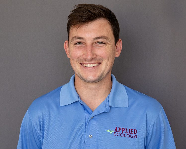
Cody Burns, M.S.
Environmental Scientist II
Cody Burns graduated from Flagler College with his bachelor’s degree in Coastal Environmental Science and minored in both Mathematics and Business. He has also completed his Master’s degree in Marine Science from Jacksonville University where he focused on isotopic biogeochemistry in the Savannah River. He received a research experience for undergraduates (REU) opportunity at Old Dominion University (ODU) where he worked with personnel on projects from ODU, NASA, and NOAA. He has fieldwork experience in soil collection and analysis, marine biological survey, data management, gopher tortoise survey, surface water quality collection and analysis, mapping shoreline stabilization, and monitoring/surveying local species present within Florida’s waterways. Mr. Burns has also assisted with research and worked with OCEARCH. He is a published co-author of High Carbon Accumulation Rates in Sediment Adjacent to Constructed Oyster Reefs, Northeast Florida, USA. His research focused on the determination if the sediment adjacent to constructed oyster reefs are a source of a carbon sink.
Mr. Burns has over two years of professional, ecological experience including wetland delineation, gopher tortoise survey and relocation, sea turtle monitoring, Florida Scrub-Jay monitoring, and fishery assessment and capture. Mr. Burns has over four years of GIS experience and spatial analysis, where he created and maintained the GIS database for his past company. He is self-taught in MATLAB from his time at Old Dominion University.
Additionally, Mr. Burns has been involved in community outreach programs raising awareness for various scientific challenges. His interests include conservation biology, public outreach, and environmental awareness.
Interested in joining our team? Head over to our Careers Page to see our current open opportunities!

