Geospatial Services

As an ESRI Member Partner, the AEI Team has the most updated spatial tools to locate, identify, categorize, assess, and depict landscape scale natural and human environments, including the use of LiDAR and other satellite imagery.

GIS Mapping & Analysis

ArcGIS Enterprise Management

Process Automation & Custom Tools

Infrastructure Mapping

Geodatabase Design

UAV Rapid Response Mapping

LiDAR Applications

Vegetative Composition Mapping

Multi & Hyperspectral Imaging

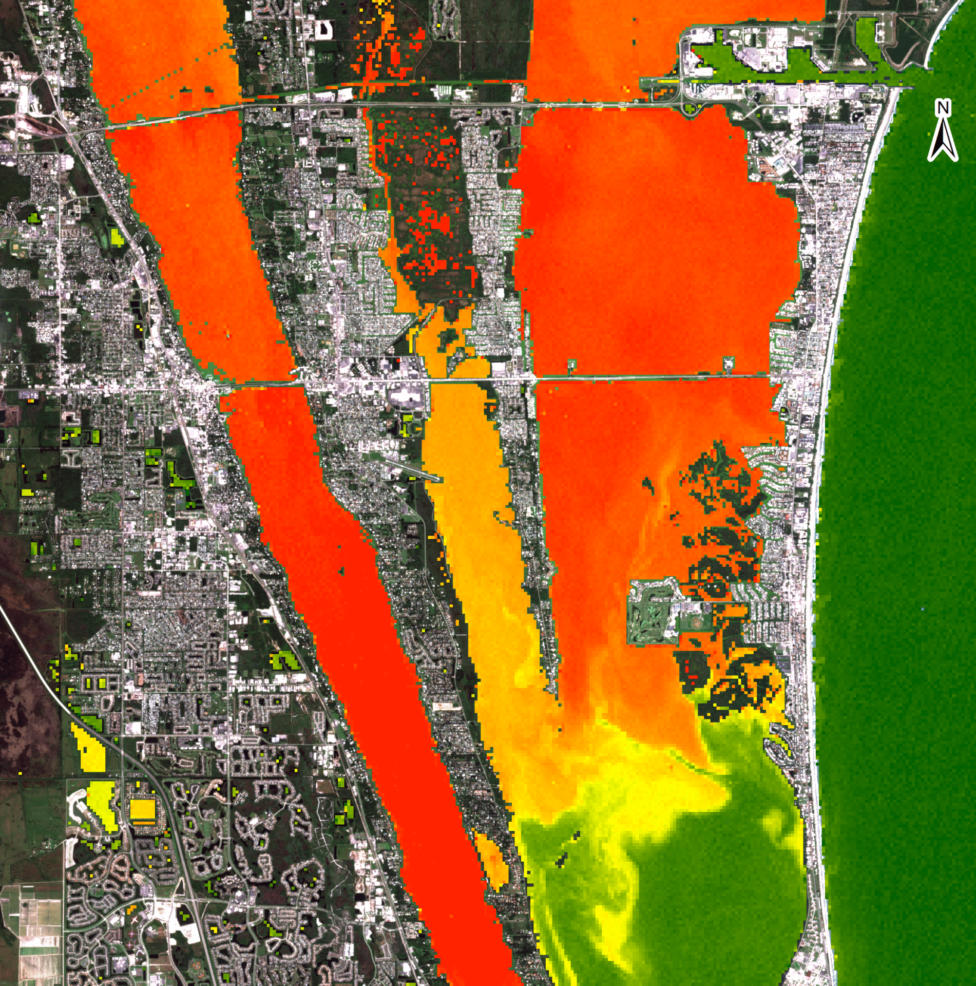
Algal Bloom Detection

Condition Assessment

Representative Projects - COMING SOON!

Remote Sensing of Harmful Algal Blooms in the Indian River Lagoon and Connected Waterways in Brevard County
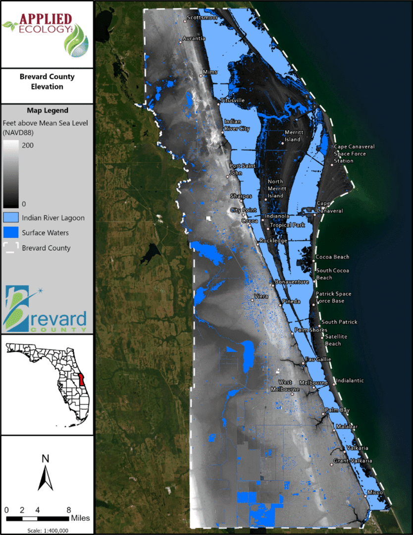
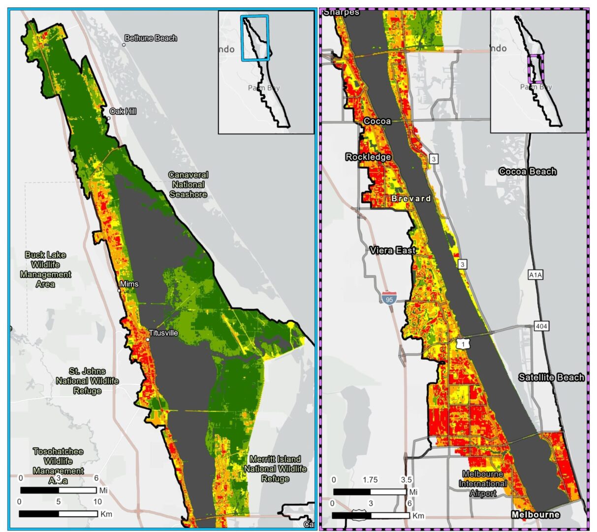
Brevard County Vulnerability Assessment
Spatial Watershed Iterative Loading (SWIL) Model for the Banana River, North and Central Indian River Lagoon BMAP

Let's Collaborate!

11 + 15 =

Phone

(321) 499-3336

Follow Us
Capability Statement
Phone

(321) 499-3336

Follow Us
Capability Statement
Environmental team fieldwork photos.