GIS & Remote Sensing Services

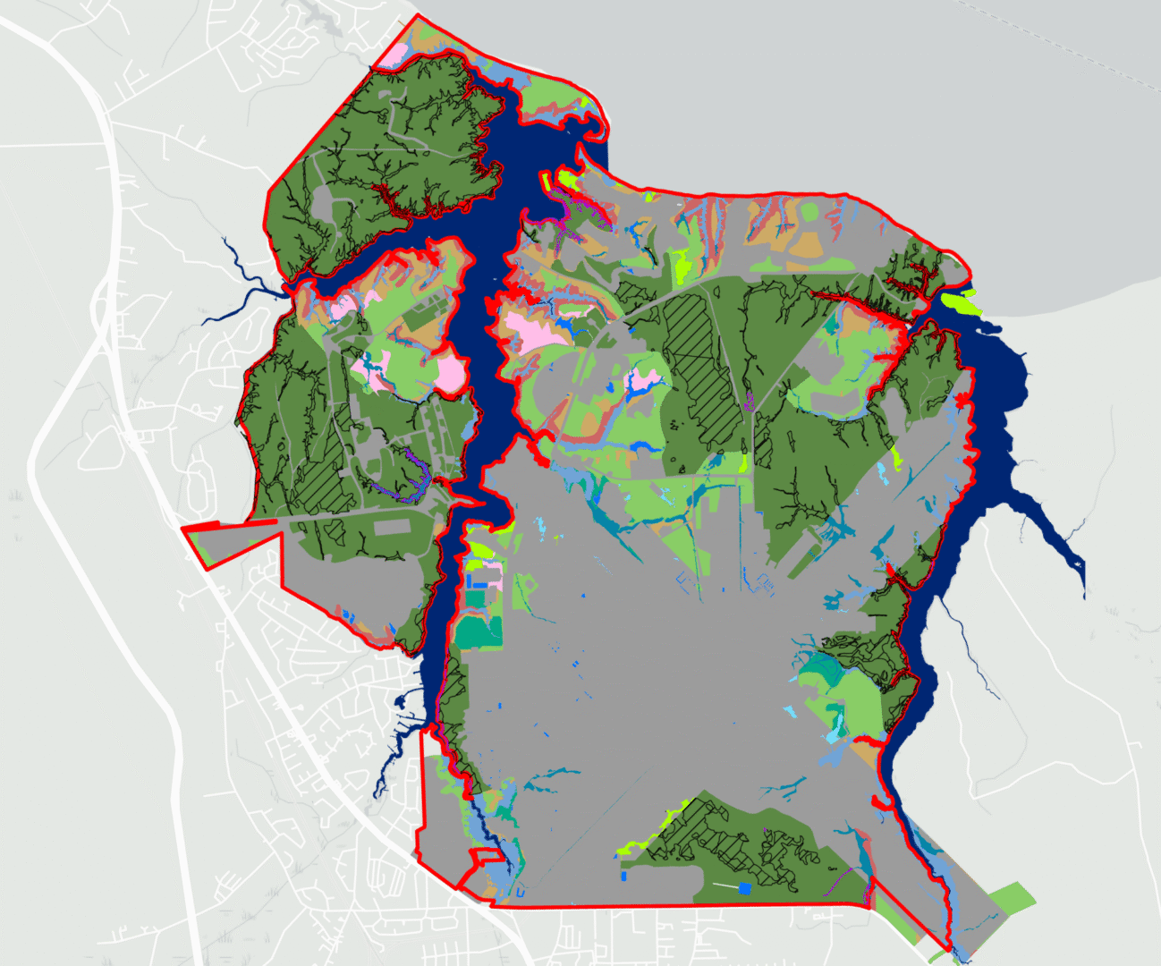
As an ESRI Member Partner, the AEI Team has the most updated spatial tools to locate, identify, categorize, assess, and depict landscape scale natural and human environments, including the use of LiDAR and other satellite imagery.

ArcGIS Enterprise Solutions

LiDAR Applications

Custom Tool Development

Invasive Species Management

Cloud-Based (AWS) Solutions

GIS Mapping & Spatial Analyses

Image Georeferencing & Rectification

Infrastructure Mapping & Inspection

Multi & Hyperspectral Acquisition

Remote Sensing Applications

SDSFIE Data Management

UAV Rapid Response Mapping

Representative Projects - COMING SOON!

Cape Canaveral Air Force Station (CCAFS) Infrastructure Survey and GIS Integration
Environmental Compliance Support for Marine Corps Installation (MCI) - East
Marine Corps Air Station (MCAS) Cherry Point Bat Habitat Assessment

Want to Chat? Connect with Us!

15 + 11 =

Phone

(321) 499-3336

Follow Us
Capability Statement
Phone

(321) 499-3336

Follow Us
Capability Statement
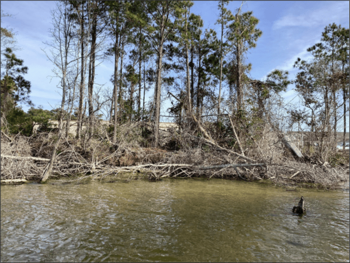
Environmental team fieldwork photos.