GIS AND REMOTE SENSING SERVICES
Geospatial and Data Management
![]() Cloud-based (AWS) solutions
Cloud-based (AWS) solutions
![]() ArcGIS Enterprise Solutions
ArcGIS Enterprise Solutions
![]() Geodatabase design and implementation
Geodatabase design and implementation
![]() GIS data conversion, migration, conflation, and visualization
GIS data conversion, migration, conflation, and visualization
![]() Process automation and custom tool development
Process automation and custom tool development
![]() Database quality management using ESRI Data Reviewer
Database quality management using ESRI Data Reviewer
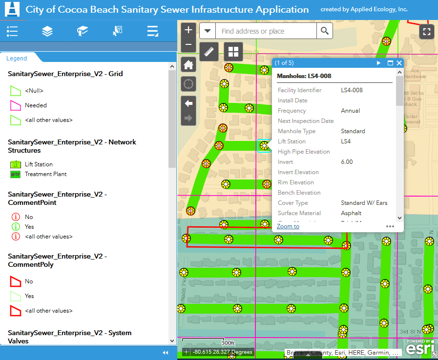
![]() GIS mapping and analytics
GIS mapping and analytics
![]() Geostatistical analyses
Geostatistical analyses
![]() SDSFIE data management and compliance
SDSFIE data management and compliance
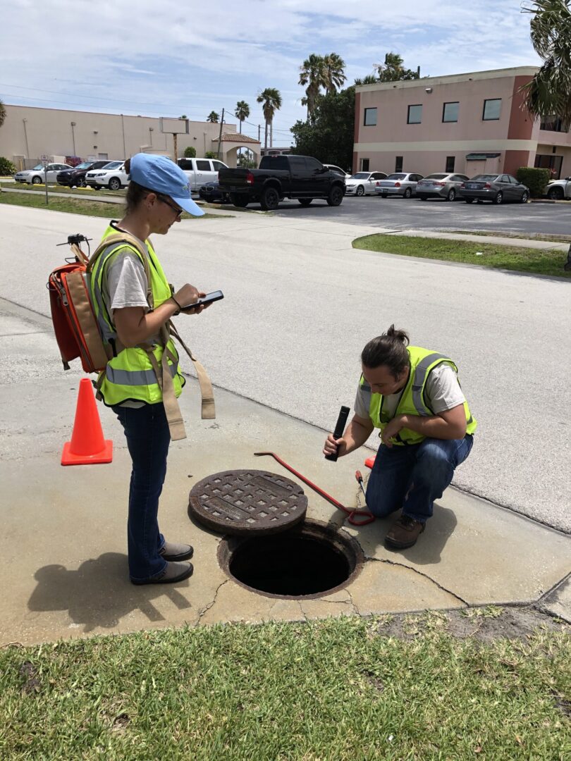
![]() Infrastructure mapping and inspection
Infrastructure mapping and inspection
![]() Asset management
Asset management
Remote Sensing
![]() Aerial photointerpretation and feature extraction
Aerial photointerpretation and feature extraction
![]() Image georeferencing and rectification
Image georeferencing and rectification
![]() Multi and hyperspectral analysis
Multi and hyperspectral analysis
![]() Change detection and habitat mapping
Change detection and habitat mapping
![]() Invasive species management
Invasive species management
![]() Fire regime management
Fire regime management
![]() Land use / cover mapping
Land use / cover mapping
![]() 2-D and 3-D terrain modeling and canopy analysis
2-D and 3-D terrain modeling and canopy analysis
![]() LiDAR applications
LiDAR applications
![]() Rapid response UAV mapping
Rapid response UAV mapping
To learn more about our services and related projects, download our GIS and Remote Sensing Services Brochure.


