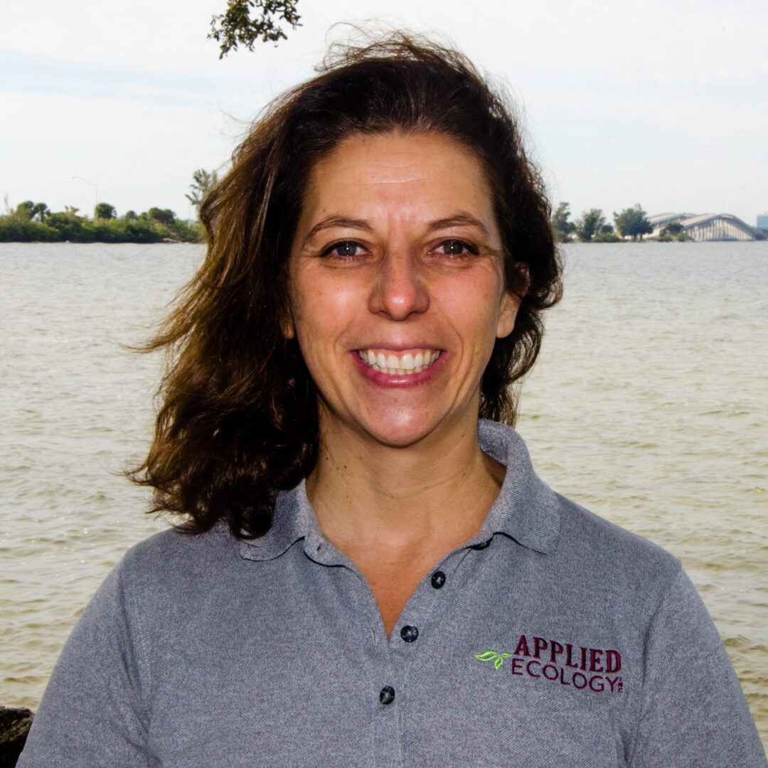
Claudia Listopad, Ph.D., GISP
Principal Scientist
President of Applied Ecology, Inc.
Education
Ph.D. in Conservation Biology, Applied Track, UCF, 2011
M.S. Ecology, Florida Tech, summa cum laude, 2001
B.S. Ecology, Florida Tech, magna cum laude, 1999
B.S. Marine Biology, Florida Tech, magna cum laude, 1999
Professional Expertise
Stormwater masterplanning
Environmental Management
Natural Resource Project Management
GIS Analysis & Remote Sensing
Water Resources Modeling
Multivariate, Univariate & Spatial Statistics
Professional Affiliations and Certifications
American Water Resources Association
Florida Stormwater Association
Society of American Military Engineers
GIS Certification Institute Certified GIS Professional #91249
Selected Publications
Claudia Listopad, M. Köbel,A. PrÃncipe, P. Gonçalves, and C. Branquinho. (2018) The effect of grazing exclusion over time on structure, biodiversity, and regeneration of high nature value farmland ecosystems in Europe. Science of The Total Environment 610-611: 926-936.
 Claudia Listopad, J. Drake, R. Masters, J. Weishampel, C. Branquinho (2015) Structural diversity indices based on airborne LiDAR as ecological indicators for managing highly dynamic landscapes. Ecological Indicators 57: 268-279.
 Claudia M.C.S. Listopad, J. Drake, R. Masters & J. Weishampel (2011) Portable Small Footprint LiDAR: Validation and Applications for Forest Canopy Structure Estimation. Remote Sensing 3(7): 1284-1307.Â
Summary
Claudia Listopad has 19 years of specialized experience in geospatial project management, remote sensing, and statistical analyses for resolving a multitude of environmental problems. As a trained marine biologist, ecologist, and conservation biologist, Dr. Listopad worked in the private consulting world for over eight years prior to founding Applied Ecology, Inc. Claudia Listopad has combined geospatial analyses and ENVI remote sensing skills with over six years of in-depth use of LiDAR for water resources and ecological studies. Her interest focuses on the application of cutting edge remote sensing technology and advanced modeling to conservation and natural resource management.
Dr. Listopad specializes in the application of GIS, modeling, database development, statistical analyses, and remote sensing to complex data sets, particularly those related to stormwater, utilities, water resources, natural resources, and consumptive permitting. Since founding AEI, Dr. Listopad has provided stormwater, surface and groundwater quality monitoring, statistical analyses, and modeling services directly as a prime or subconsultant for Brevard County NRMO, City of Indian Harbour Beach, City of Cocoa Beach, City of Cape Canaveral, City of Titusville, City of Rockledge, and the US Air Force.
Dr. Listopad is often involved in agency negotiation and is currently working closely with the SFWMD, SJRWMD, SWFWMD, and FDEP, among other public agencies. She has designed and implemented several large infrastructure geodatabases for municipalities, including custom reporting and portable collection forms, which streamline NDPES, inspection, and maintenance efforts. In addition, she focuses on data management of spatial and non-spatial datasets, impact detection, spatial and geodatabase design and development, and ecological and hydrological field assessments.
Dr. Listopad has been and is continuously involved in several projects funded by the State Legislature related to water quality of the Indian River Lagoon, including several groundwater source studies, which include large-scale monitoring, geospatial modeling, and statistical analyses. Additionally, she is actively involved in both the research and public consulting world for water resources. She presents at domestic and international conferences on a variety of ecological and remote sensing topics and participates in public workshops for water resources issues and their implementation.
Highlighted skills include: Water quality modeling, geodatabase design and management, advanced ArcGIS mapping and training, custom scripting and software development, ArcHydro, ArcNLET, remote sensing tools for visible/IR, multi- and hyperspectral imagery and LiDAR, ENVI, spatial analyses (Spatial, Geostatistical, and 3D Analyst), advanced statistical analyses and modeling.

