GEOTECHNICAL SERVICES


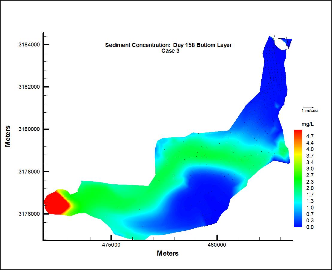
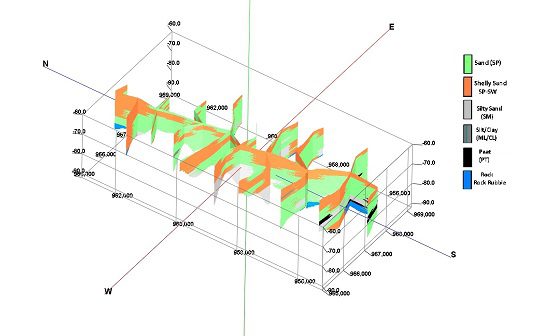
Geotechnical services includes a broad range of capabilities for applied geology and geophysical studies in shallow marine environments, sedimentological and stratigraphic analyses are conducted by combining geophysical data verified with sample and core data to assemble 3D visualization of geologic structures and lithology. Geotechnical data are often linked to numerical modeling studies to provide calibration and constraints to simulations of coastal morphology.
Some of the typical project types under this core service line include:
Hydraulic and hydrologic studies
Sand source analysis
Beach restoration
Geologic sampling and analysis
Sub-bottom continuous seismic profiling
Side scan sonar mosaics and interpretation
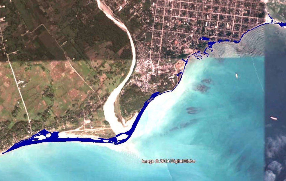
Geomorphic analysis and shoreline change
GIS services, geodatabase design
Geospatial analysis of coastal datasets
To learn more about our services and related projects, head over to our Portfolio!
