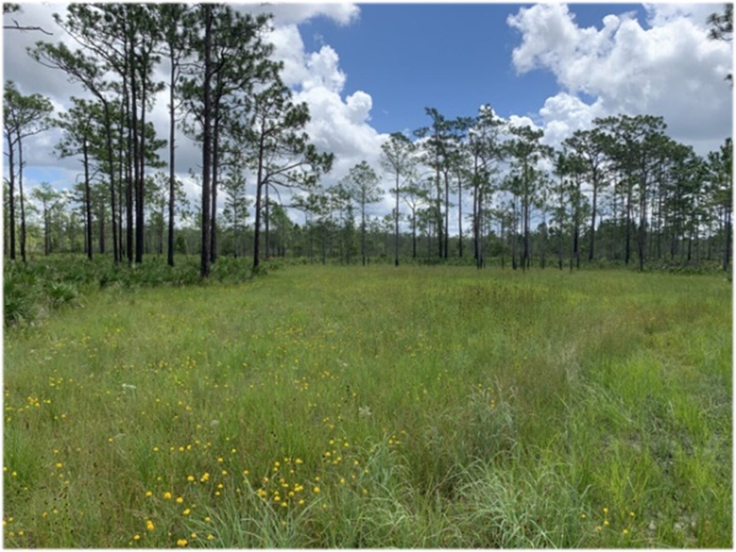
Orange County State of the Wetlands Assessment
Orange County is undergoing a detailed evaluation of its various environmental regulations, comprehensive plan, and associated policies to assess how improvements can be made that will better protect the County’s natural and environmental resources while accommodating the needs of a rapidly growing metropolitan community. Drummond Carpenter (DC) and Applied Ecology, Inc. (AEI) are currently supporting Orange County Environmental Protection Division (OCEPD) with an evaluation of the County’s existing wetland ordinance. A critical part of understanding the effectiveness of past and current regulatory guidelines is a detailed evaluation of the wetland resources within the County. DC requested AEI’s assistance to quantify the state of wetlands ecological communities within Orange County to help assess the effectiveness of the existing wetland ordinance at preventing a net loss in wetland acreage and functionality. The State of the Wetlands (SOTW) project provides the scientific data to guide the County’s future efforts in refining their wetland ordinance.
This project utilizes remote sensing, field validation, and geospatial analysis techniques to support the evaluation of Orange County’s wetland resources. Available published literature and white papers regarding the impacts of wetland degradation and loss of related ecosystem services, wetland Best Management Practices (BMPs), optimal methodologies for determining wetland conditions via remote sensing will be incorporated in this study. AEI will utilize existing aerial, satellite, Land Use Land Cover (LULC), and other spatial data from the implementation of the county wetland ordinance in 1987 to present to establish baseline wetland extents and to create an estimate of change in distribution of wetlands across Orange County; four existing wetland extents (1990, 2000, 2010, 2015) will be mapped, and the current coverage with be developed via satellite data. Wetlands within the current coverage will be ranked, and sub-selection of 50 sites will be chosen for a limited field validation effort (including UAS hyperspectral imaging). Field assessments will be performed using both established methods such as the Florida Uniform Mitigation Assessment Method (UMAM) and other methods determined by the literature review to inform the evaluation of wetland change and provide training data for a supervised classification of 2022 satellite imagery.

Analyses to be performed following data compilation, literature review, and field assessments are a change detection of mapped wetlands, a functional ecosystem analysis, a conceptual wetland loss scenario analysis, and a wetland change and environmental impact spatial analysis. These efforts will be summarized in a final report that will address the general trend in wetland quality over time in Orange County, provide recommendations for future management, and identify potential hot spots of future wetland degradation.
Another deliverable includes a PowerPoint presentation to the OC Board of County Commissioners and Orange County Mayor. During the presentation all findings regarding the SOTW will be provided.
