Comprehensive Stormwater Assess Management Plan for the City of Largo
This project developed a citywide comprehensive stormwater asset management plan. Applied Ecology, Inc. worked closely with GPI to assess the City’s goals, needs, and data gaps, planned the asset inventory and data collection, and supported the condition assessment and reporting tasks of the scope of work. In addition, standards of protocol for field data collection were developed for immediate and future assessment purposes.
Applied Ecology, Inc. obtained the necessary geospatial and tabular data from the City and used the data, in conjunction with client input, to define goals for the asset planning inventory work. The data gathered included any current or historic atlas data, stormwater inventory structures, NPDES and maintenance collection forms, TMDL implementation project data, BMAP annual submittals, ERP information, current BMAP boundaries and project areas, city boundaries, as well as land use, soil type, roads, and best available imagery. Applied Ecology evaluated the existing data availability and data gaps, in terms on non-spatial attributes, in order to provide a needs assessment.
Applied Ecology developed two geodatabase designs, one for stormwater infrastructure and the other for management datasets, and implemented these by creating the databases and populating these with best available data. Once the final geodatabase schemas were approved by the client, the geodatabase was constructed including relationships and domains, and metadata prior to delivery. Best available data were imported or converted into the databases, other datasets required the developed SOPs for field data collection to be implemented to meet the City’s goals.
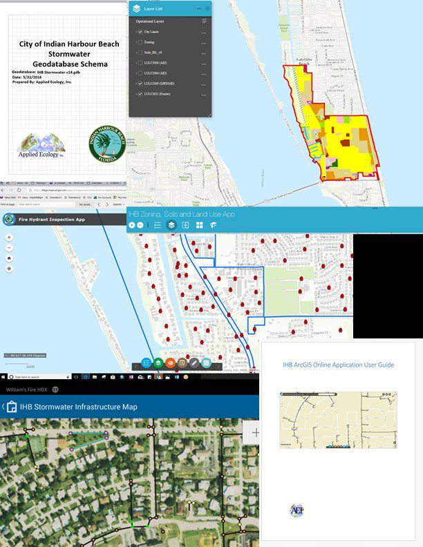 GIS geodatabase schema design for the City of Largo.
Client:
- City of Largo
- Ann Rocke (City Engineer)
Project Duration:
- 2015 – 2016
Team Members:
- Dr. Claudia Listopad
- William Paton
Services Provided:
- Data assessment and analysis
- Project planning
- GIS geodatabase schema development
- Standard of protocol development for field data collection