Developing Data-Driven Septic Policy for the Indian River Lagoon
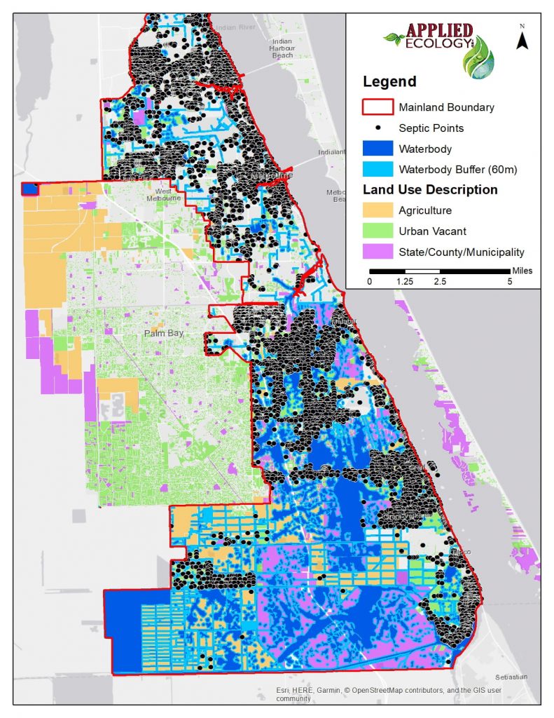
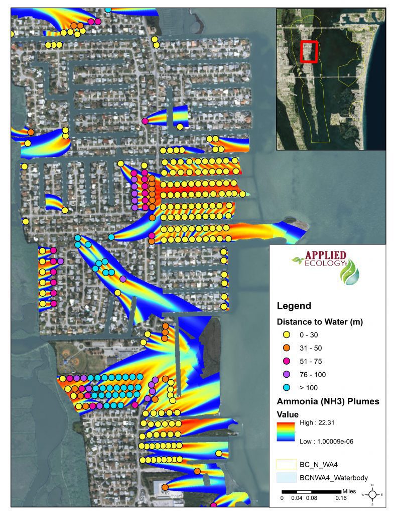
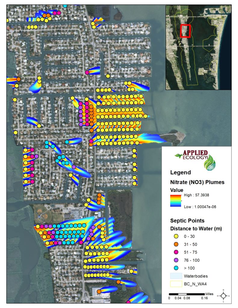
In response to the deterioration of the health of the Indian River Lagoon (IRL) along Florida’s east coast, Brevard County residents approved a sales tax referendum in 2016 to fund the Save our Indian River Lagoon (SOIRL) Project Plan. Solutions to restore the IRL include pollution prevention measures, many implemented through local ordinances. This project includes a community-based prioritization effort based on groundwater pollution potential and distance to nearby utilities for residential communities on septic within Brevard County’s IRL watershed. Extensive predictive modeling efforts utilizing the ArcNLET groundwater transport with site-specific information for the watershed was undertaken to determine the minimum buffer required to effectively protect the IRL from nitrogen loads from septic systems. Additionally, these modeling efforts were used to identify communities/individual parcels of interest by ranking the potential of contamination to groundwater from these septic sources.
For more information, head over to our Case study page!
Client:
- Brevard County Natural Resource Management Office
- Virginia Barker (Director of NRMO)
Project Duration:
- 2018
Team Members:
- Dr. Claudia Listopad
- William Paton
- Kayleigh Douglass
- Danielle Huffner
Services Provided:
- Data development
- GIS mapping
- Spatial, statistical, and hydrological analyses
- Hydrogeological modeling


